
Weather IA
climat

Tokyo Sets New Record with 34 Consecutive Days of Rainfall and Impacts on the City

Tokyo has experienced 34 consecutive days of rainfall, the longest such episode on record according to the Japan Meteorological Agency. This anomaly raises questions about the mechanisms of the monsoon, the uncertainty of forecasts, and the increasing role of artificial intelligence in predicting such events.

WE

Rédaction Weather IA

mardi 29 septembre 2026 à 15:368 min
Partager :Twitter/XFacebookWhatsApp
Tokyo Sets New Record with 34 Consecutive Days of Rainfall and Impacts on the City
Tokyo Sets New Record with 34 Consecutive Days of Rainfall

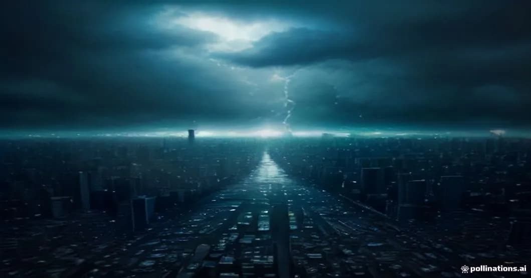
Since July 27, Tokyo has been continuously drenched, reaching a record-breaking 34 consecutive days of precipitation – a feat never before seen in official records. The Japan Meteorological Agency (JMA) confirms that this episode surpasses the previous record of 28 days set in 1978, and it occurs as traditional climate models struggle to predict the persistence of rain in the Kanto region.

34 Days of Rainfall in Tokyo: A Record Defying Historical Norms

This new record is part of an increasingly frequent trend of prolonged weather events, but it remains exceptional for a city as densely populated as Tokyo. Satellite data from Copernicus shows a persistent cloud band that has been lingering above the Tokyo basin, fed by moisture from the western Pacific. This configuration has been observed by national weather radars and corroborated by ground observations from the JMA, which record daily rainfall, albeit with varying amounts each day.

Tokyo's climate archives, spanning over a century, have never recorded such continuity. This rarity makes long-term impact assessment difficult, but initial observations indicate an increase in average relative humidity, rising risks of urban flooding, and increased pressure on the drainage network. Municipal authorities have already implemented alert measures, including the deployment of rescue teams and temporary barriers along the Arakawa and Sumida rivers.

Why Tokyo Remains Under the Monsoon: Climate Mechanisms and Atmospheric Circulation

The phenomenon is primarily attributed to the dynamics of the summer monsoon season, where a stationary front forms between warm, humid air from the Pacific and drier air from the Asian continent. This configuration creates what meteorologists call a 'pseudostationary' feature, which, when reinforced by a large-scale atmospheric wave, can remain stationary for several weeks. ECMWF models show that the jet stream's position above Japan has been abnormally stable, limiting front movement and promoting cloud persistence.

Researchers also emphasize the role of warm ocean currents, notably the Kuroshio, which injects additional heat and moisture into the atmosphere. This extra energy fuels local convection, intensifying showers. According to atmospheric data collected by satellites, water vapor content...

Was this article helpful?

Commentaires

Connectez-vous pour laisser un commentaire