Northeast US Storm: Coastal Flooding, Power Outages, and Flight Cancellations
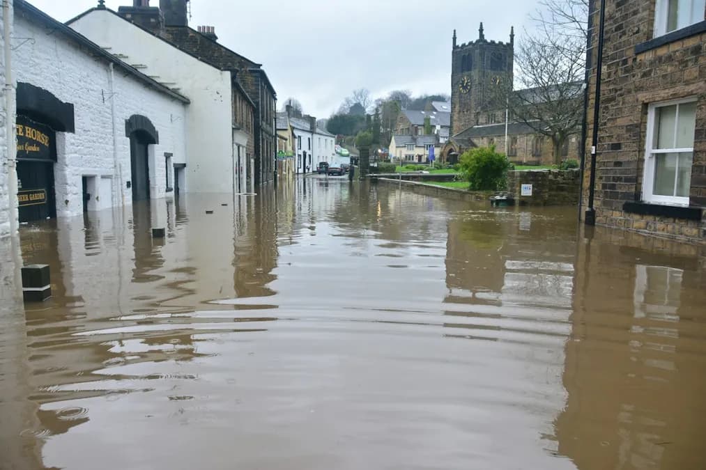
A powerful low-pressure system has struck the northeast United States, triggering waves up to several meters high, hundreds of flight cancellations, and dozens of power outages. Authorities fear major coastal flooding and urge caution.
This evening, the coastal radar in Boston recorded waves reaching 5m in height, while New York's JFK airport saw over 300 flights cancelled in a few hours. Emergency services have already reported dozens of homes without power and fear coastal flooding that could inundate residential and industrial areas from Connecticut to Maine.
Storm impacting the northeast United States: affected areas and expected intensity
The low-pressure system, originating from a storm surge that crossed the Gulf of Mexico, has taken a northeastward track at a speed of 30km/h, concentrating its energy along the Atlantic coast. According to ECMWF weather models, sustained winds will exceed 90km/h along the New Jersey coast, with gusts up to 120km/h in exposed areas. Rainfall is estimated between 60 and 120mm over 24 hours, with intensity rates exceeding Météo France's warning thresholds when transposed to the region.
The most exposed areas are Long Island Bay, Connecticut, Rhode Island, and Maine coasts. Copernicus models show an accumulation of wet snow in Vermont's highlands, while low-lying areas remain under freezing rain, increasing the risk of ice on major roads. Forecasts also indicate a storm surge that could breach New Haven and Providence's dikes, causing inland flooding of several centimeters.
Atmospheric mechanisms behind the extratropical depression
This storm is the result of an interaction between a strongly undulating jet stream and a warm air mass from the Gulf. The thermal contrast between warm air and cooler Canadian air creates a strong barocline, amplifying cyclogenesis. The GraphCast neural network model, trained on decades of satellite data, predicted the rapid intensification of the vortex from the previous day, demonstrating AI's ability to identify "cyclone bomb" phases well before classic models.
The feedback process between oceanic humidity and the jet stream fuels the development of a Rossby wave that, as it moves eastward, concentrates low-level air convergence. This convergence increases dynamic pressure, resulting in stronger winds and heavier precipitation. Atmospheric data from the Sentinel-3 satellite series confirms an increase in relative humidity above the marine surface, favoring the formation of water droplets that quickly transform into heavy precipitation when encountering the cold front.
Immediate consequences: coastal flooding, power outages, and air traffic disruptions