
Weather IA
alertes

Record-breaking storms in southeastern France and Corsica: extreme rainfall, floods and two deaths

Record rainfall totals triggered deadly floods in southeastern France and Corsica, killing two people. Météo France and ECMWF models are working to understand this highly unusual Mediterranean event.

WE

Rédaction Weather IA

mercredi 21 octobre 2026 à 20:427 min
Partager :Twitter/XFacebookWhatsApp
Record-breaking storms in southeastern France and Corsica: extreme rainfall, floods and two deaths

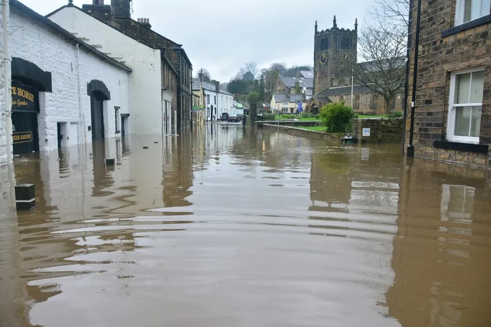
Very heavy rainfall totals, among the highest ever recorded in October, caused sudden flooding across the Bouches-du-Rhône and Corsica, killing two people. According to Copernicus satellite data, the rainfall was concentrated into less than 24 hours, far exceeding seasonal averages and triggering rapid floods along rivers and streams that are normally calm.

Rainfall intensity and the most affected areas

The phenomenon first manifested itself on 20 October, when moisture-laden Mediterranean weather systems converged over the western Mediterranean basin. Météo France recorded « very heavy » rainfall totals at several stations in southeastern France, while Corsica experienced rainfall of comparable intensity, causing rivers such as the Cavu and Tavignano to overflow. ECMWF forecast models, powered by neural networks capable of assimilating atmospheric data in real time, indicated a high probability of extreme rainfall as early as the day before the event, but the speed at which the situation escalated took emergency services by surprise.

In the Bouches-du-Rhône, coastal roads were quickly submerged, evacuation routes were blocked, and homes in flood-prone areas sustained damage. In Corsica, mountain streams, swollen by rapid runoff generated by the rainfall, overflowed, sweeping away vehicles and trapping hikers. Local authorities declared a state of emergency, mobilizing Civil Security teams and departmental firefighters to secure areas at risk.

Atmospheric mechanisms behind the event

The exceptional intensity of this event resulted from a complex interaction among several climate factors. On the one hand, the Mediterranean Sea was exceptionally warm, favoring massive evaporation and enriching the air with moisture. On the other hand, a cold front of Atlantic origin moved into the region, creating strong convergence that forced the warm air to rise rapidly, causing the moisture to condense into torrential rainfall. This process, known as « frontal convergence », was amplified by coastal terrain, which channeled airflows into valleys and intensified local thunderstorms.

AI models such as GraphCast and Pangu-Weather showed that the combination of satellite data, radiosonde observations and in situ measurements can detect these configurations before they result in extreme rainfall. Neural networks, trained on decades of data, identify specific atmospheric signatures – for example, a surface temperature gradient greater than 5 °C between the sea and land – that often precede periods of heavy rainfall. However, forecast uncertainty remains high for highly localized events, such as those observed in Corsica, where the topography

Was this article helpful?

Commentaires

Connectez-vous pour laisser un commentaire