
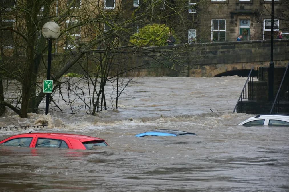
Nearly 4,900 residents have been forced to leave their homes in Bangkok, while over 52,000 households are experiencing flood damage. A state of disaster has been declared for the entire capital, highlighting the scale of flooding that exceeds previous seasonal episodes.
What's happening: Massive flooding in Bangkok, figures and affected areas
Water has submerged central districts of Bangkok, including Bang Kapi, Phra Khanong, and the banks of the Chao Phraya River, where water levels have reached up to 1.8m above normal thresholds. According to Copernicus data, accumulated precipitation over the last 48 hours exceeds 250mm, a record for the September period in the region. Local authorities have opened more than 30 reception centers, including municipal gymnasiums and schools, to accommodate evacuated residents.
Satellite images from Sentinel-2, analyzed by Météo France services, show an extension of the floodwater covering nearly 120km², equivalent to the size of the city of Nice. This real-time cartography has enabled rescue teams to identify critical areas and prioritize pumping operations. Neural networks integrated into the GraphCast model have detected anomalous water vapor concentrations, corroborating ground measurements.
In response, the Thai Ministry of Interior has mobilized over 5,000 volunteers and 200 pumping trucks. Emergency services have also implemented a daily SMS alert system to inform residents of water levels and evacuation routes. Despite these measures, aging drainage infrastructure struggles to cope with excess water, exacerbating flood persistence.