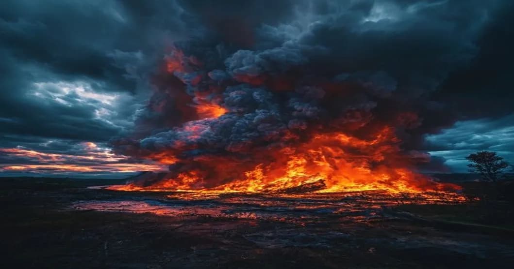
Wildfires in France: Firefighters Face a Rare Weather Phenomenon
Massive wildfires are devastating the southwest of France, creating an extremely dangerous weather phenomenon. French firefighters are facing, for the first time, a 'pyrocumulonimbus,' a rare and formidable weather event.
WE
Rédaction Weather IA
lundi 27 juillet 2026 à 07:51Updated mercredi 5 août 2026 à 04:545 min
Massive Wildfire in France: The Pyrocumulonimbus, an Extremely Dangerous Weather Phenomenon
Massive Wildfire in France: The Pyrocumulonimbus, an Extremely Dangerous Weather Phenomenon
A massive wildfire is ravaging the southwest of France, creating an extremely dangerous weather phenomenon known as a 'pyrocumulonimbus.' This rare event, never seen before in the country, is described by the spokesperson for the National Federation of Firefighters of France (FNSPF) as exceptionally dangerous.
Wildfires and Their Impact on Weather
Forest fires are known for their devastating effects on the environment and local communities. However, when they reach a certain intensity, they can also influence local weather, creating phenomena such as pyrocumulonimbus. The latter forms when a fire is intense enough to heat the air above it, causing it to rise and form cumulonimbus clouds.
These clouds can produce violent storms, torrential rains, and even tornadoes. The pyrocumulonimbus is considered an extremely rare and dangerous weather phenomenon because it can spread fires over long distances thanks to the strong winds it generates.
Scientific Causes of Pyrocumulonimbus
The formation of a pyrocumulonimbus is linked to the combination of several meteorological and environmental factors. When a forest fire is intense and burns over a large area, it can heat the air above it to high temperatures. This hot air then rises quickly, creating an upward current that can reach high altitudes in the atmosphere.
This upward current cools, causing water vapor to condense and form cumulonimbus clouds. If conditions are favorable, these clouds can develop into pyrocumulonimbus, characterized by their ability to produce intense precipitation and strong winds.
The scientific explanation of pyrocumulonimbus relies on principles of thermodynamics and fluid dynamics. When a forest fire burns, it releases heat and gases that warm the air above it. This hot air rises and condenses, forming cumulonimbus clouds. If these clouds are intense enough, they can develop into pyrocumulonimbus, with strong winds and intense precipitation.
Impact and Implications for Firefighters and Populations
The appearance of a pyrocumulonimbus during a forest fire significantly complicates efforts to combat the fire. The strong winds and intense precipitation generated by this phenomenon can spread the flames over large distances.