
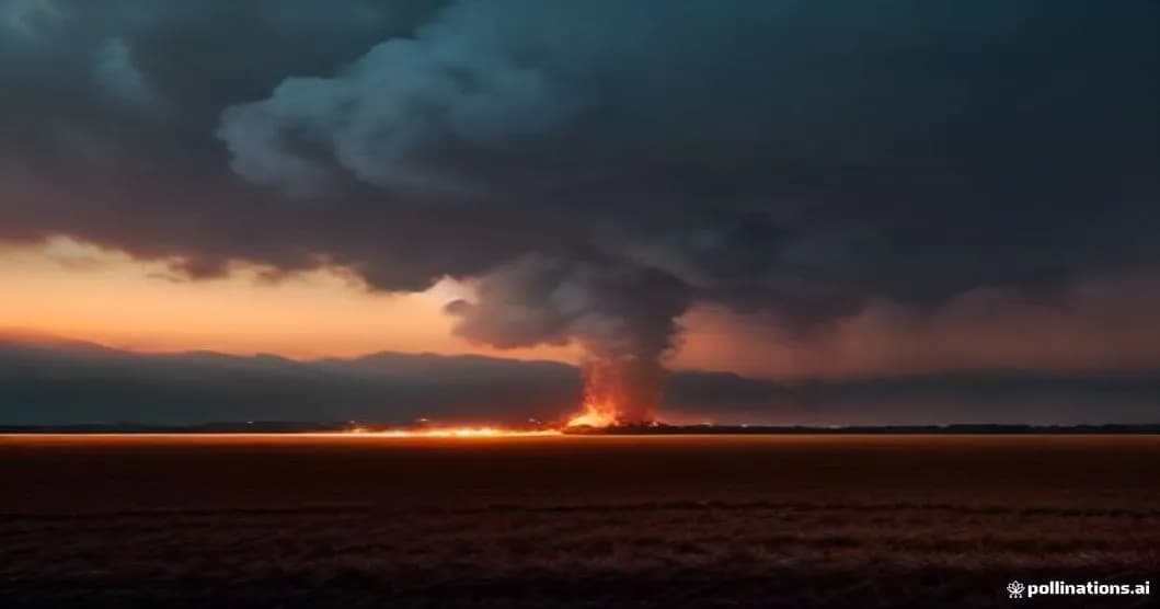
In less than twelve hours, a blaze consumed 150 hectares of a large photovoltaic park installed at the heart of the Landes, triggering one of the largest rescue mobilizations of the season. The prefecture indicated that up to 250 firefighters were engaged on the ground, supported by 14 aerial means - including four Canadair and four Dash - half of the national fleet available. The fire, deemed very unfavorable from the early hours, quickly exceeded the capacities of classic containment, pushing the authorities to activate emergency protocols rarely used outside major forest fires.
Fire in Photovoltaic Park: 150 hectares consumed in less than 12 hours
The point of origin of the fire remains unconfirmed to this day, but the first investigations suggest a triggering linked to an electrical fault within the park, amplified by the dry vegetation that bordered the rows of panels. As soon as the alert was raised, the ground teams had to face a rugged topography, where hills and valleys channel air currents, creating pockets of heat that feed combustion. The firefighters first tried to isolate the epicenter with water lines, but the rapid spread required the use of water and retardant drops from aircraft, a tactic usually reserved for large fires.
Satellite data from Copernicus, analyzed in real time, allowed the evolution of the fire to be mapped with a resolution of 10 meters, offering commanders quasi-instantaneous visibility on the most active zones. This cartography was coupled with a predictive model based on a neural network, trained on thousands of similar incidents, to anticipate probable fire front trajectories. According to this model, the combination of south-west wind at 30 km/h and temperatures above 32°C created a high uncertainty zone for forecasting, making each operational decision critical.