
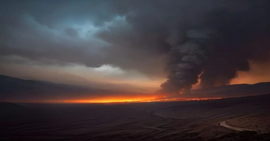
Since Wednesday, flames have already consumed 105 hectares of vegetation in the Aspe Valley, at the heart of the Pyrénées-Atlantiques. The fire did not advance during the night from Saturday to Sunday, but it remains active, forcing rescue teams to stay on maximum alert.
Fire in Aspe Valley: extent, evolution, and ground actions
The official report from the prefecture indicates that the 105 hectares affected are mainly composed of pine forests and maquis, environments very sensitive to fires during drought periods. The departmental firefighters, reinforced by teams from the Civil Security, have established a security perimeter around the fire to protect the homes located on the edge of the valley. The firefighting operations include the use of rapid intervention vehicles, mobile water lines, and aerial retardant drops, although wind conditions make these less effective.
Local authorities have set up a continuous monitoring system using Copernicus satellite data, which allows for real-time detection of hotspots. These observations are integrated into the prefecture's dashboard, where officials can visualize the evolution of the fire and adjust resources accordingly. In parallel, the regional natural risk prevention service has triggered the « Fire » emergency plan, which provides for the preventive evacuation of the most exposed areas if the situation worsens.
The fire remains confined to forest areas, but the topography of the valley, with its narrow ravines and steep slopes, creates microclimates conducive to rapid fire propagation. Easterly winds, which regularly blow at 15-20 km/h, can carry embers several kilometers away, increasing the risk of new fires starting. Rescue services are therefore closely monitoring the uncertainty in predicting these winds, which remain difficult to model precisely.