
Weather IA
alertes

How urbanization amplifies flood risk in France despite stable precipitation

A recent study shows that the number of people exposed to floods has exploded, not due to more intense rainfall, but due to increasing urbanization of plains. The 'safe development paradox' reveals how protective infrastructure encourages construction in risky areas.

WE

Rédaction Weather IA

mardi 29 septembre 2026 à 16:377 min
Partager :Twitter/XFacebookWhatsApp
How urbanization amplifies flood risk in France despite stable precipitation
Paradox of safe development and modern flood risk

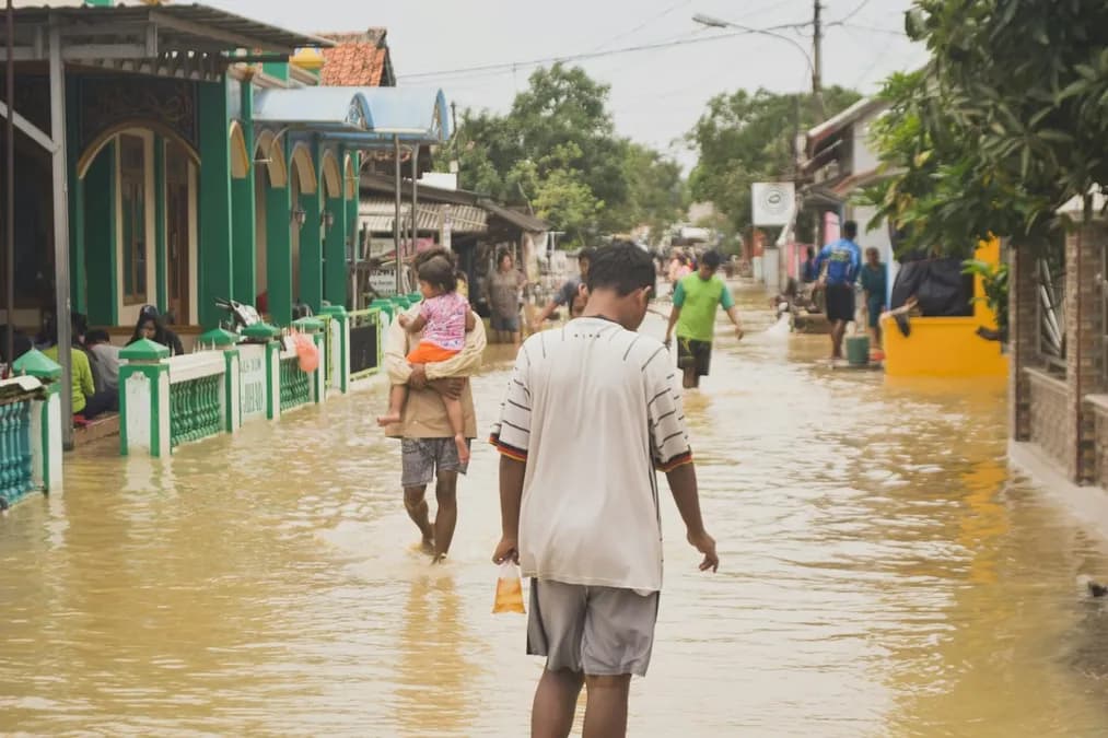
The number of people living in flood-prone areas has significantly increased over the past few decades, despite average precipitation remaining similar to that of the past. This contradiction, known as the 'safe development paradox', is at the heart of a new study comparing historical flood risk with present-day risk, incorporating the effects of topography, precipitation, and urbanization.

What the study reveals: Comparison of historical and modern flood risks

The analysis shows that when only precipitation and terrain data are considered, there has been no major change in flood risk between past centuries and today. However, when urbanization maps are overlaid, researchers find that densely populated areas have shifted to river plains where water levels can quickly exceed safety thresholds. Thus, the same rainfall event that once affected few people now threatens thousands of residents.

The phenomenon is particularly visible along the Seine and Rhône basins, where new residential areas are expanding onto former floodplains. The study notes that the construction of levees and dams has created a false sense of security, encouraging municipalities to approve residential projects on historically vulnerable land. This dynamic increases the likelihood that during an intense rainfall event, material and human damages will be significantly higher than in the past.

How the study was conducted: Predictive models, neural networks, and satellite data

To make these comparisons, scientists combined several data sources: ECMWF precipitation archives, high-resolution images from Copernicus, and historical land cover maps. A predictive model based on a neural network was trained to identify areas where flood thresholds are exceeded, integrating both meteorological variables and topographic characteristics.

The model was validated using historical storm scenarios, then applied to future simulations where urbanization progresses according to trends observed since the 2000s. Prediction uncertainty was quantified by generating multiple model realizations, allowing evaluation of the robustness of conclusions against possible climate and land-use policy variations. No numerical figures are presented in the brief, so results remain qualitative but strongly supported by available data.

Scientific explanation of the 'safe development paradox'

The term describes

Was this article helpful?

Commentaires

Connectez-vous pour laisser un commentaire