
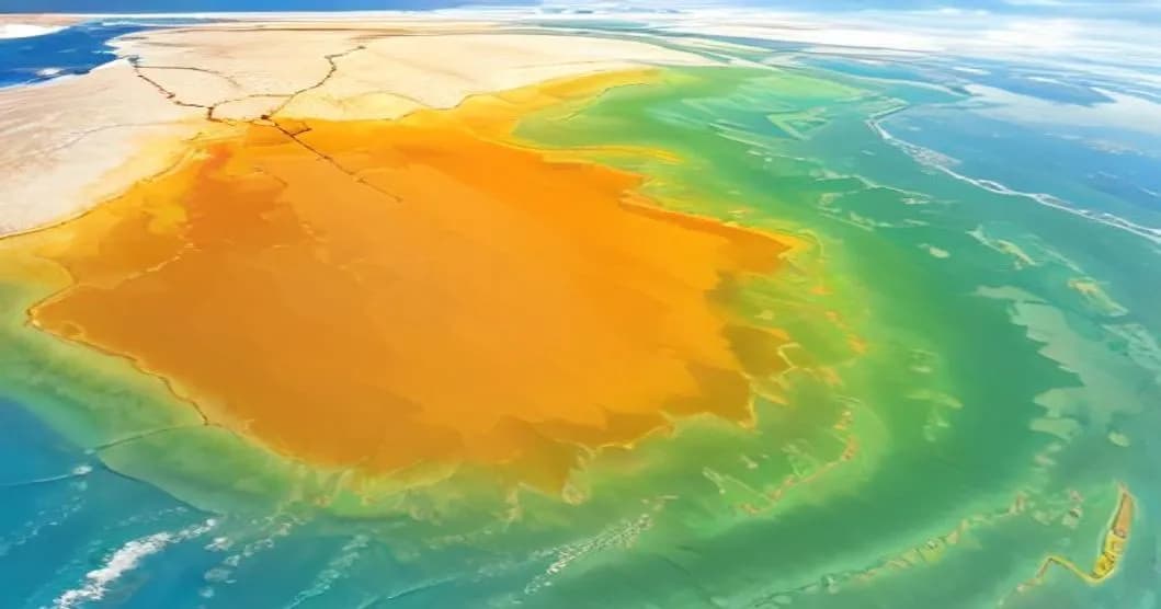
On Friday afternoon, thermometers will climb up to 38°C in South-West and Rhône Valley, with peaks of 39°C in the interior of Languedoc, according to Météo-France forecasts. The service indicates that "monthly heat records are probable in some areas", which has led to the activation of orange heatwave alert in five departments. This situation is occurring within an unusual atmospheric blocking pattern for the period, and weather services are mobilizing their most advanced models to refine short-term forecasts.
Expected Temperatures in South-West and Rhône Valley
Official bulletins predict temperatures between 36°C and 38°C from Friday afternoon, with local values reaching 39°C in the interior of Languedoc. These values greatly exceed seasonal norms, which usually range around 28°C to 30°C for the first half of September. The phenomenon mainly affects South-West departments (Gironde, Landes, Lot-et-Garonne, etc.) and Rhône Valley (Drôme, Ardèche, etc.), where low cloud cover and topography favor strong insolation.
Forecast models, including the European ECMWF model, integrate neural networks and high-resolution satellite data to anticipate heat evolution. According to these models, the heatwave is expected to persist until Sunday, with a slight attenuation on Monday when north-west wind begins bringing cooler air from the Atlantic. Forecast uncertainties remain modest in coastal areas but increase slightly in relief zones where orographic effects can create warmer microclimates.