
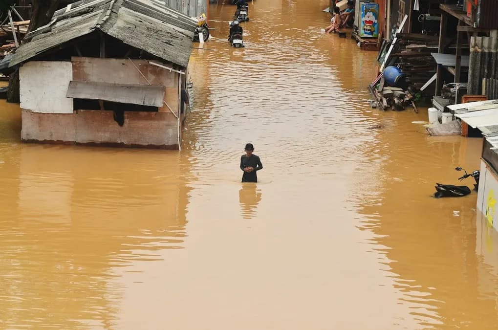
After nearly 48 hours of heavy rainfall, Bangkok's canals overflow, transforming main arteries into makeshift rivers. Over a third of the capital is submerged, with avenues like Ratchadamri and Sukhumvit now traversed on foot, while tens of thousands of residents are stranded in their homes. Satellite images from the Copernicus program show water sheets extending well beyond the traditional drainage network, revealing the magnitude of a crisis that goes beyond mere infrastructure problems.
Massive flooding in Bangkok: Affected areas and flood extent
The Chao Phraya, Khlong Saen Saep, and Khlong Phadung Krung Kasem canals have reached their maximum levels, inundating central districts of Bang Rak, Pathum Wan, and Dusit. Major roads, including Sukhumvit Road and Rama I, are completely submerged, requiring the use of boats or wading. Emergency services report that underground metro stations are closed, and hospital access routes are partially blocked, complicating medical interventions.
According to satellite data from Copernicus and ECMWF predictive models, the water surface continues to expand by about 15% every six hours as long as precipitation persists. Predictive models, fed by neural networks that assimilate real-time rainfall measurements, forecast that the flood peak could persist until the end of the weekend, followed by a slight retreat expected from the following Monday, provided atmospheric pressure stabilizes.